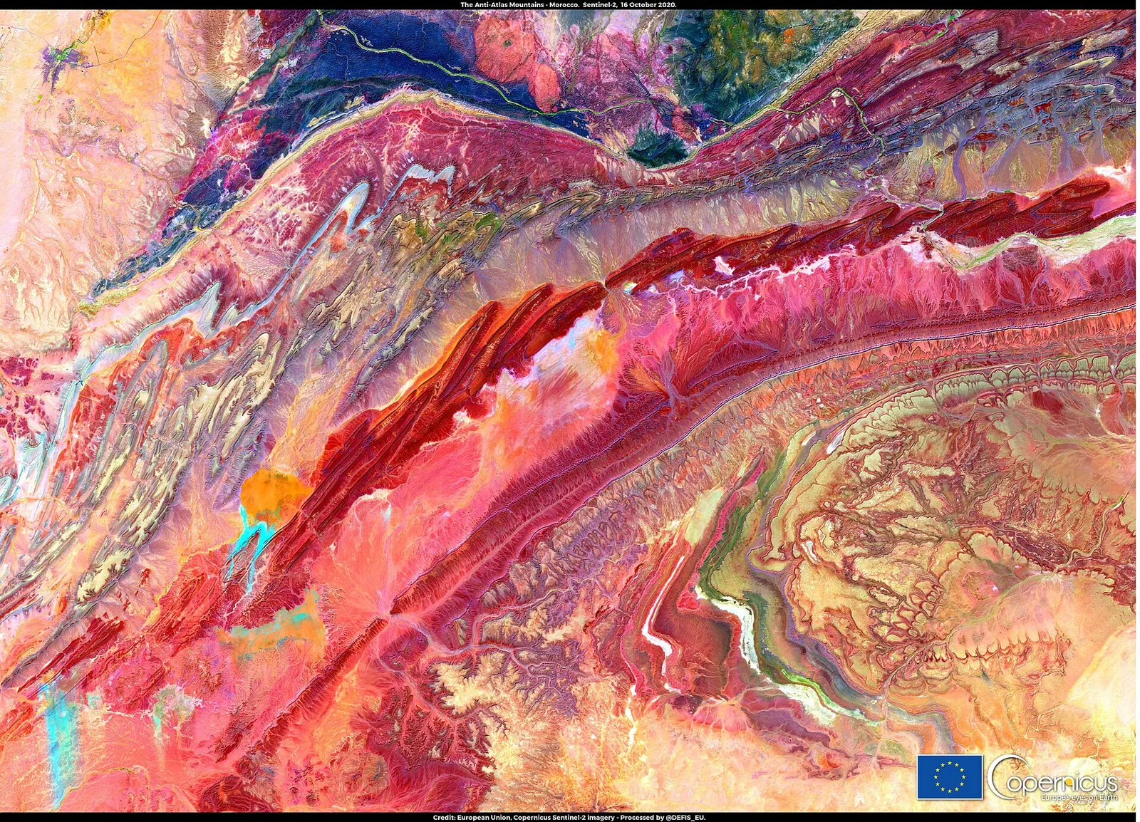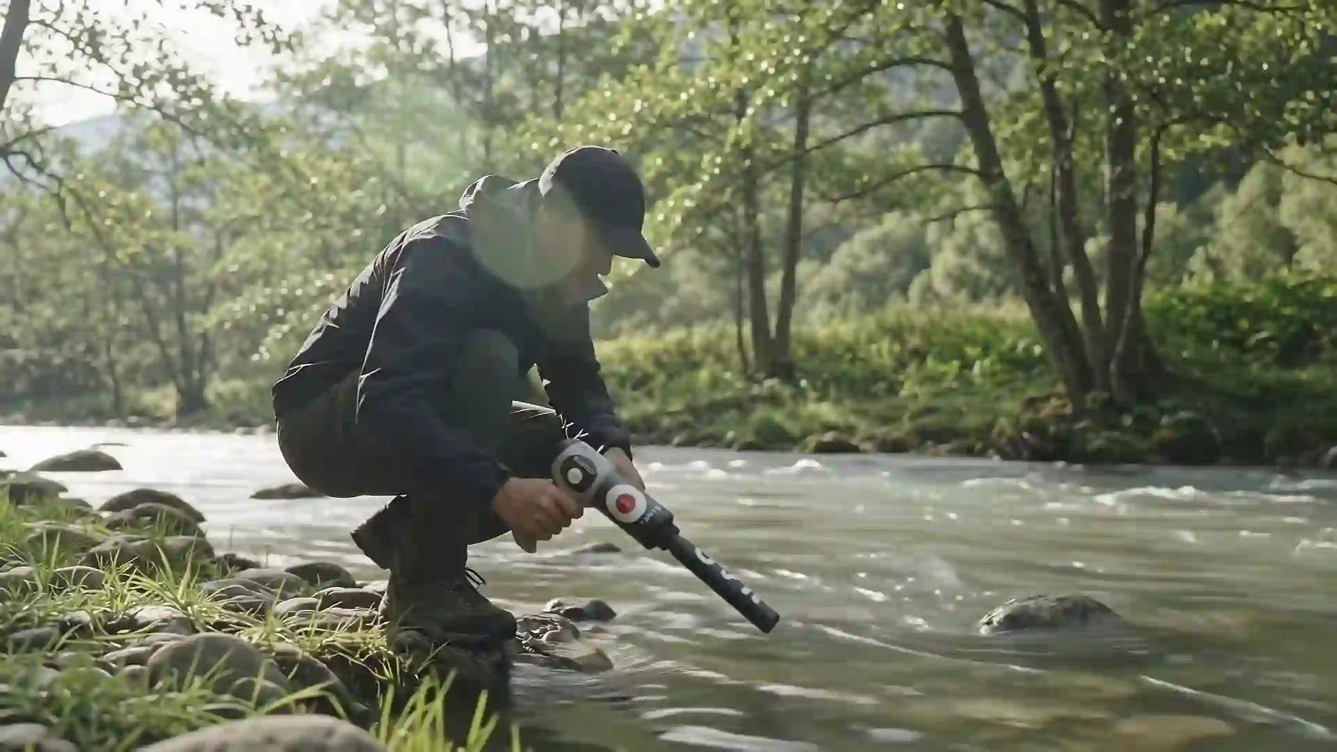
In a country where rainfall is irregular and droughts are frequent, groundwater is precious. Finding it is a matter of geology first, measurement second, and drilling only after both. This guide explains the logic that hydrogeologists follow and how survey devices fit into it.
Where groundwater is stored
Groundwater is not an underground river flowing through empty tunnels, except in limestone caves. Most of it fills the pores and fractures of rocks and sediments, called aquifers.
- Porous aquifers: sand, gravel and sandstone. Wadis and alluvial plains often hold water in their gravel beds.
- Fractured aquifers: granite, schist and quartzite hold water only in their cracks. The water is where the fractures are, so locating faults is essential.
- Karstic aquifers: limestone dissolved by water forms channels and caves, common in the Middle Atlas. Yields can be large but very localised.
The water table is the upper surface of the saturated zone. Its depth varies with the season, the years of rainfall and pumping in the area.
Surface signs worth reading
Before any device, read the landscape:
- Vegetation: a line of green trees, palms or reeds in dry terrain often follows water close to the surface or a fault.
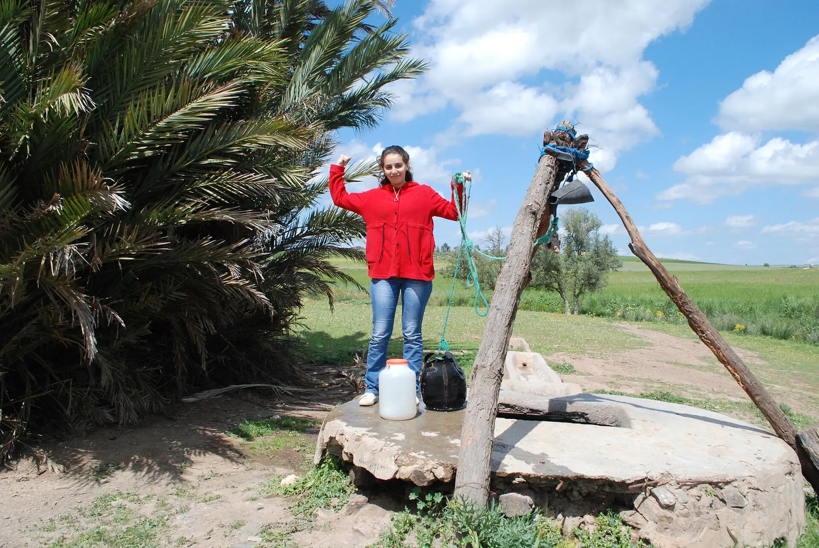
- Springs and old wells: the best evidence that an aquifer exists nearby. Ask neighbours for the depth and yield of their wells, and whether they vary by season.
- Topography: valleys, the foot of slopes and the outer bends of wadis collect water and sediments.
- Geology: changes in rock type, visible faults and fractured zones are where water circulates in hard rock.
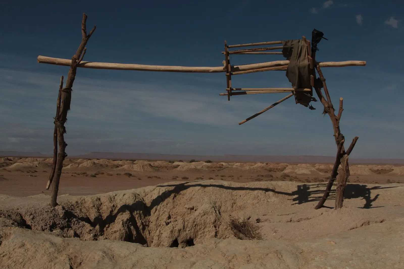
- Traditional works: khettaras, old cisterns and wells tell you where people have found water for generations.
Measurement methods
Electrical resistivity
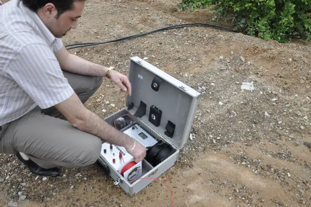
Water carrying dissolved salts conducts electricity, so wet layers usually have a lower resistivity than dry ones. A resistivity survey injects a current into the ground through two electrodes and measures the voltage between two others. By spreading the electrodes further apart, the measurement reaches deeper. This technique, called vertical electrical sounding, gives a profile of resistivity with depth.
Be careful: clay also has low resistivity, but it holds water without releasing it. Interpretation must combine resistivity with geology.
Electromagnetic methods
Electromagnetic devices induce currents in the ground and measure its conductivity without electrodes. They are fast for mapping large areas and locating conductive zones such as faults filled with water.
Water-finding devices
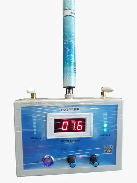
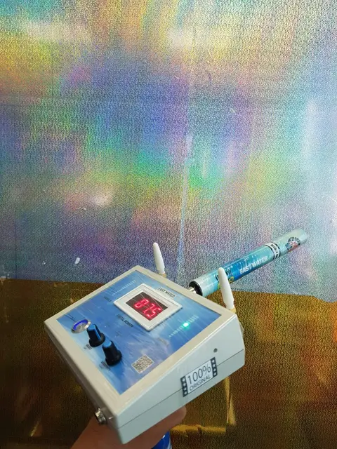
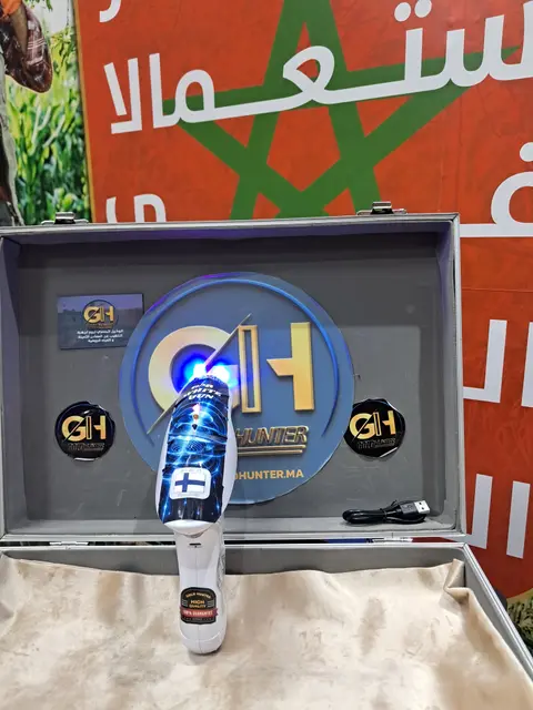
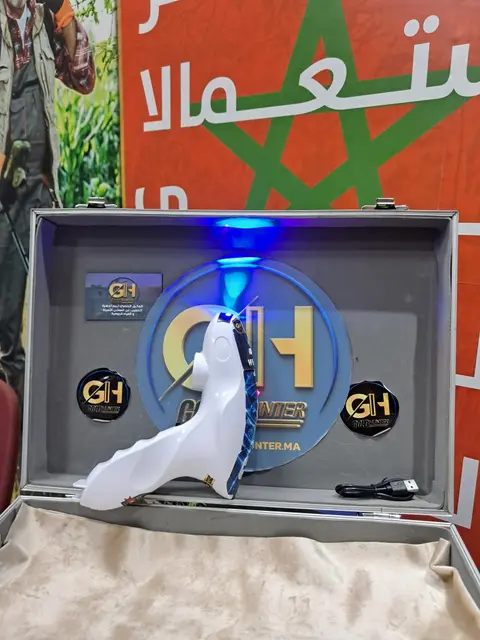
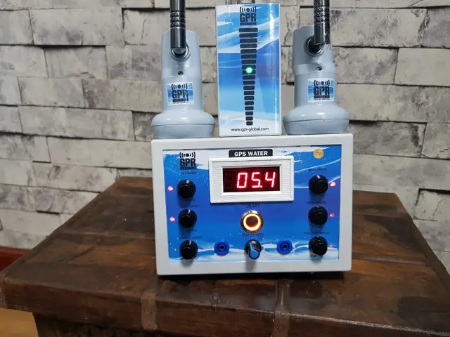
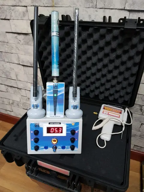
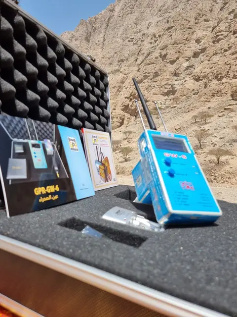
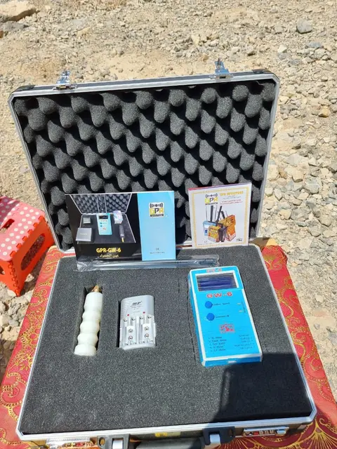
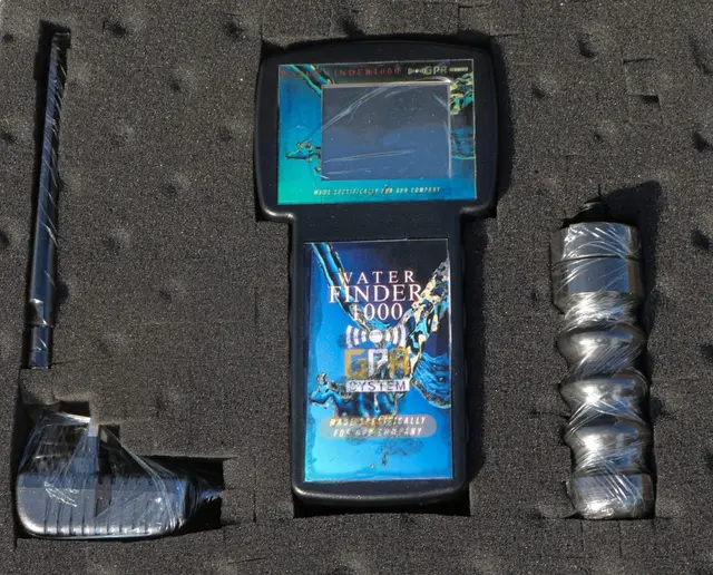
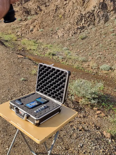
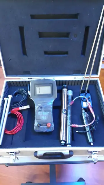
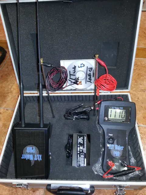
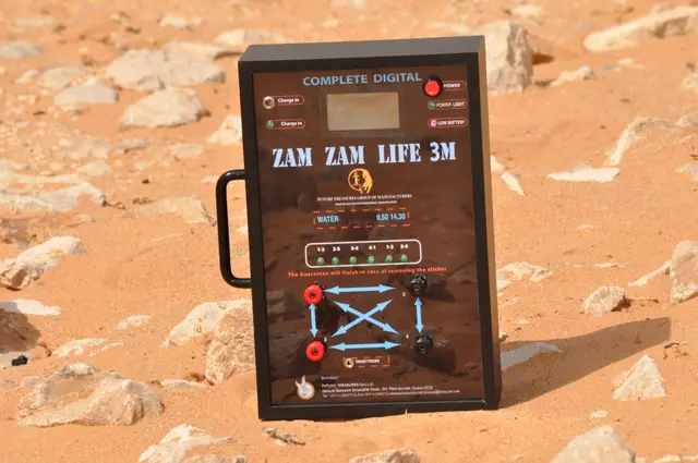
Handheld water-finding devices sold for prospecting are designed to indicate promising points quickly. Treat their results as a first screening: confirm with the geology of the site, the depth of nearby wells and, for any significant investment, a resistivity survey by a professional.
Depth, yield and quality
Finding water is not enough. Before drilling, try to answer three questions:
- At what depth? It sets the drilling cost and the pump you will need.
- How much? A fractured granite may give a few hundred litres an hour; a gravel aquifer much more.
- What quality? Salinity and nitrates vary. Have the water analysed before using it for drinking or irrigation.
What the law requires
In Morocco, water is part of the public domain and is governed by Law 36-15 on water. Digging a well or drilling a borehole generally requires an authorisation or declaration with the competent river basin agency (Agence du bassin hydraulique), which also regulates the volumes pumped. Rules differ between basins and some over-exploited aquifers are protected. Contact the agency or your local authorities before drilling.
A sensible order of work
- Study the geology and the landscape; visit nearby wells.
- Screen the area with the devices you have.
- Confirm the best points with a resistivity or electromagnetic survey.
- Obtain the authorisation.
- Drill, test the yield and analyse the water.
Summary
Groundwater follows geology. Read the landscape, measure, cross-check and only then drill, with the required authorisation. Our water and depth devices help with the screening stage; contact us to discuss your site.